New Dataset Maps Future Climate Hazards Across Austria, Aiding Energy and Infrastructure Planning
December 5, 2025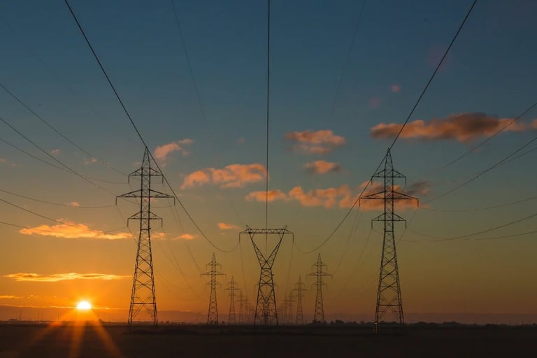
The results are translated into maps that indicate where hazards will become more common, less common, or more intense under each warming scenario.
The dataset is intended to help planners assess how warming could affect energy demand, renewable generation potential, and the vulnerability of critical infrastructure.
Researchers from Austria’s University of Natural Resources and Life Sciences and the Austrian Institute of Technology have created a dataset predicting how climate hazards will change across Austria as global temperatures rise.
Austria is divided into a one-kilometre grid, and 41 hazards—including extreme heat, frost, drought, heavy rain, wind, humidity, and wildfire risk—are analyzed for current conditions and warming scenarios of 2°C, 3°C, and 4°C.
Access to the data is provided through the linked Nature article and its Nature Scientific Data repository.
Summary based on 1 source
Get a daily email with more Climate change stories
Source

Center for Data Innovation • Dec 5, 2025
Predicting Hazards to Austria’s Energy System