Revolutionary Map Reveals 300,000 km of Roman Roads, Transforming Understanding of Ancient Connectivity
November 6, 2025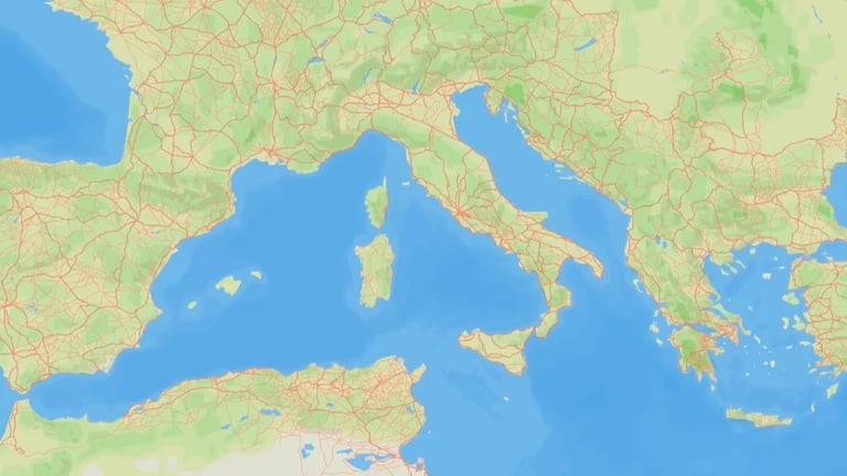
Experts note that roads are often overlooked in favor of grand ruins, but the Roman road network was crucial to shaping European history and transportation dynamics.
The researchers stress the network’s historical significance: a comprehensive system enabled rapid movement of goods, people, and even plagues across vast distances, shaping societal and economic changes.
The visualization provides practical value for writers, filmmakers, educators, and researchers by illustrating travel routes, estimating journey times, and highlighting gaps in knowledge about the road network.
While it remains unclear whether all identified roads were simultaneously open, the map is expected to underpin future research on movements such as the spread of Christianity and ancient diseases.
The study, published in Scientific Data, shows the empire connected three continents at its height, with more than 55 million inhabitants and roads linking provinces from the Atlantic to the Euphrates.
Itiner-e offers a visual representation of connectivity and has implications for understanding mobility, administration, and historical factors like disease transmission, while acknowledging it does not capture road development over time.
A new online map, Itiner-e, integrates topographic data, satellite imagery, and historical records to create an open dataset of the Roman road network expanding to about 299,171 kilometres for CE around 150, a substantial increase from prior estimates.
Over five years, researchers cross-referenced historical records, archival data, milestone locations, and satellite imagery—including WWII-era photos—to identify traces of ancient roads.
The map helps illuminate how people, ideas, and diseases spread in antiquity and could inform perspectives on contemporary challenges, according to co-author Tom Brughmans.
Researchers acknowledge challenges due to sparse chronological evidence for construction and changes, noting that road networks grew organically and a Reich-wide, time-specific reconstruction is currently not feasible; many routes’ precise locations remain uncertain.
The study emphasizes road growth as an organic process—new roads built atop existing ones and some falling out of use—complicating a fixed temporal reconstruction.
Scholars, including Benjamin Ducke, regard the atlas as a major contribution, though some roads’ historical activity remains uncertain.
Summary based on 15 sources
Get a daily email with more World News stories
Sources

Yahoo News • Nov 6, 2025
All roads in ancient Rome stretched far longer than previously known, study shows

Nature • Nov 6, 2025
‘Google Maps’ for Roman roads reveals vast extent of ancient network
Gizmodo • Nov 6, 2025
The Roman Empire’s Entire Road Network Just Got Mapped, and It’s Mind-Blowing