Autonomous Drones to Revolutionize Neighborhood Weather Forecasting in Kentucky
November 21, 2025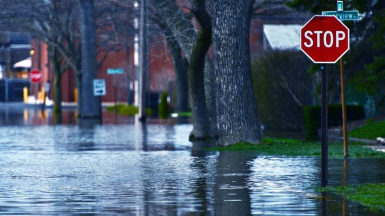
The project will integrate fleets of small autonomous aircraft to collect fine-scale atmospheric data and feed it into a high-resolution weather model, enabling neighborhood-level, real-time forecasts of extreme weather.
By combining autonomous aerial systems with high-resolution measurements and adaptive microscale models, the effort aims to deliver precise forecasts for neighborhood-level extremes, supporting emergency responders and decision makers.
Funding comes from the National Science Foundation under Award No. 2450718, highlighting the University of Kentucky as Kentucky’s flagship land-grant institution advancing education, research, and service.
Field tests will begin at UK’s North Farm and then move to the Lexington campus and Eastern Kentucky terrain to test performance in varied wind and weather conditions.
The testing sequence will also evaluate accuracy in more complex environments by expanding from North Farm to other sites across Kentucky.
The project seeks to reduce errors in localized flow fields and turbulence by better modeling terrain and local environmental conditions within forecasts.
The team brings together experts in fluid dynamics, computational science, machine learning, atmospheric science, microscale modeling, and UAS operations, with multiple PIs from UK and NCAR.
A core goal is to account for urban features—such as infrastructure, tree cover, roads, and crop lifecycles—to improve predictions of heat, wind, and air-quality extremes at the local scale.
Over five years, a $2 million NSF-funded project at the University of Kentucky aims to develop LEAP-HI, a neighborhood-scale forecasting system in collaboration with NCAR.
LEAP-HI will use autonomous aircraft and adaptive microscale models to deliver neighborhood-scale forecasts and continually improve through ongoing data integration.
Researchers will develop a high-resolution surface weather map via offline machine learning and continually adjust parameters with real UAS data to reduce localized flow and turbulence errors.
The effort focuses on refining surface representations that are hard to resolve in traditional models, producing high-fidelity, neighborhood-focused weather maps.
The initiative will provide emergency planners with actionable insights on where local environments may amplify weather events, enabling better preparation and response to extreme conditions.
The project addresses gaps in current models by delivering higher-resolution, neighborhood-scale forecasts and leveraging past UAS observations to continually improve accuracy.
Lead investigators include Sean Bailey, Jesse Hoagg, and Alexandre Martin from UK, with NCAR’s James Pinto as a co-PI, and NSF support under Award No. 2450718.
The system combines UAS data collection with a nested high-resolution numerical weather prediction model to capture the influence of urban infrastructure, tree cover, roads, and crop lifecycles on local weather phenomena.
Summary based on 2 sources
Get a daily email with more Science stories
Sources

Mirage News • Nov 21, 2025
UK Team Innovates Localized Weather Tech
UKNow • Nov 21, 2025
UK researchers developing neighborhood-level weather technology