AI Revolutionizes Farming with Precision Agriculture, Drones, and Robotics for Enhanced Crop Yield
August 12, 2026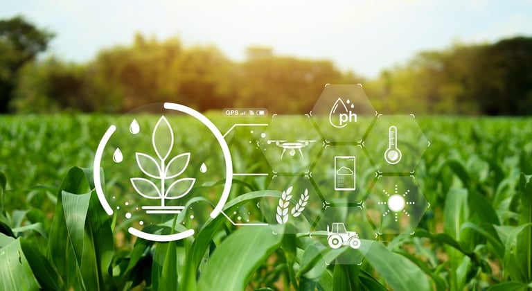

A farming-focused AI suite combines field history, recognition tools, product evidence, and tracking to support day-to-day decisions and reduce platform fragmentation, streamlining operations for growers.
AgAnswersAI consolidates farm data—yields, documents, PDFs—with an AI agent that retrieves information quickly, cutting administrative workload and speeding decision-making.
Satellite imagery with high resolution and frequent updates enables rapid detection of water stress, nutrient deficiencies, early disease, plant vigor, and crop maturity to prioritize field inspections.
Predictive analytics forecast weather disruptions, pests, diseases, market demand, equipment failures, and yields, empowering preventive action and risk management.
Digital twins simulate farm operations to compare fertilizer, irrigation, crop rotations, machinery deployment, and harvest timing before real-world application.
Collectively, these technologies aim to boost yields, reduce labor, cut input costs, and protect revenue per acre, with adoption depending on demonstrable economic returns amid weather, prices, policy, and supply-chain risks.
The initiative seeks collaboration with universities and industry stakeholders to develop new AI tools that translate seed and plant data into practical knowledge, advancing seed trait research and use.
Smart irrigation combines soil moisture, forecasts, growth stages, and evaporation to automate watering, conserving water and energy.
Noktura’s OpenWeedLocator uses Raspberry Pi and 3D-printed parts for real-time weed detection in fallow fields, enabling targeted herbicide use and potential input-cost reductions.
NuPeak Robotics’ Pixa autonomous harvester targets berries and tomatoes with learning capabilities and lease-to-own options, addressing labor shortages and harvest economics.
Robotics and autonomous harvesters use computer vision, AI navigation, and robotic arms to identify ripe produce, optimize picking, and extend harvesting hours.
Precision ag uses AI to analyze soil moisture, nutrients, plant health, weeds, and disease to apply inputs only where needed, reducing waste and costs.
Summary based on 3 sources