Brace for Impact: Severe Cold Front to Batter Southeastern Australia with Snow, Rain, and Destructive Winds
August 7, 2026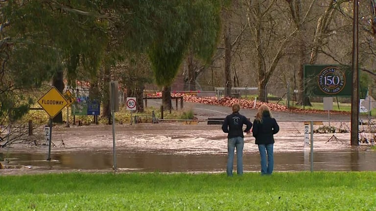

Public safety guidance advises residents to seek shelter, secure loose items, and monitor official updates from authorities as the system approaches.
Authorities warn of hazardous weather impacts and emphasize the need for preparedness in affected regions.
The Bureau of Meteorology warns of extreme weather hazards linked to the front, including potential flooding, blizzards, and destructive winds.
A low-pressure system near Antarctica is forecast to move northeast in coming days, driving the icy weather setup.
From Saturday into Sunday winds will rise and rainfall will increase across the affected states, with colder conditions intensifying behind the front.
Late Sunday into Monday, icy conditions are expected to intensify with blustery winds, rain, hail, thunderstorms, and snow across the southeastern states.
South Australian regions can expect an outline of rainfall and wind, with travel and event disruption warnings possible based on timing and severity.
Outlooks indicate ongoing cloud bands and showers over inland Western Australia and parts of South Australia ahead of the front.
The story was updated on August 7, 2026 at 7:01 pm, with an initial publication at 6:59 pm on the same day.
Residents should monitor warnings and call triple zero for life-threatening emergencies.
A powerful cold front is forecast to bring wintry conditions across southeastern Australia, including Victoria, Tasmania, New South Wales, and southern Queensland, with heavy rain and dangerous winds in South Australia.
Summary based on 2 sources
Get a daily email with more Australia News stories
Sources
news.com.au — Australia’s leading news site for latest headlines • Aug 6, 2026
Wintry blast to hit millions of Aussies
The Sydney Morning Herald • Aug 7, 2026
Powerful cold front to bring heavy rain and dangerous winds